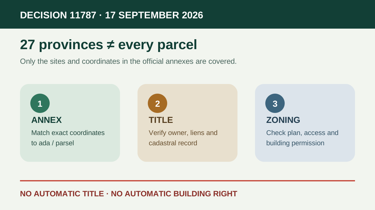
Presidential Decision No. 11787, published on 17 September 2026, removes specifically mapped sites in 27 provinces from forest boundaries under Article 16 of the Forest Law. The affected places are defined by annexed lists, sketches and coordinates; the decision does not change every forest-adjacent property in those provinces. For an overseas buyer, the practical rule is simple: a province or district name is not evidence that a particular parcel changed status.
The decision covers 27 provinces, not their entire territory
The provinces are Afyonkarahisar, Ankara, Balıkesir, Bingöl, Bolu, Bursa, Çorum, Denizli, Diyarbakır, Elazığ, Eskişehir, Gümüşhane, Isparta, İstanbul, Karaman, Kayseri, Konya, Kütahya, Malatya, Manisa, Mersin, Muğla, Sinop, Sivas, Tokat, Trabzon and Uşak. Only the sites identified in the official annexes are covered. A sales advert saying merely that land is in one of these provinces proves nothing about the parcel.
Leaving the forest boundary does not automatically create private title
The decision changes an administrative boundary for the listed areas. It does not name a private buyer, transfer ownership, issue a title deed or settle every cadastral question. The registered owner and legal character must still be checked in the Land Registry and cadastre records using the exact province, district, neighbourhood, block and parcel numbers.
It is not an automatic zoning or building approval
A forest-boundary change is separate from planning status, subdivision, road access, infrastructure, environmental restrictions, protected-area rules and construction licensing. Buyers should obtain the current zoning-status document and official plan notes from the competent municipality or authority. A broker's map pin, coordinate screenshot or future-development claim is not a permit.
Use the annex coordinates as a cross-check, not a substitute for records
Match the advertised parcel against the Official Gazette annexes and then ask the Land Registry, cadastral directorate and relevant forestry administration to confirm the current record. Coordinates can identify an area but do not replace an official title extract, encumbrance check or boundary survey. Pay particular attention to shared titles, mortgages, annotations and discrepancies between field use and the cadastral map.
Before paying a deposit
Put the parcel identifiers and promised legal status in the written contract, make the deposit conditional on independent verification and do not rely on a claim that the decision guarantees later sale, construction or regularisation. Decision 11787 is a public-law status change, not a due-diligence certificate or investment guarantee.